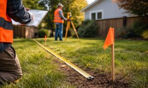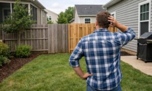
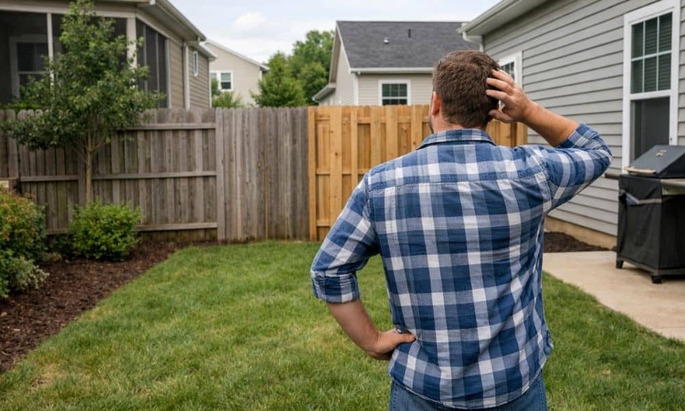
You finally get the keys. You walk the yard. At first, everything feels right. Then something feels off. The side yard looks smaller than you remember. The driveway sits closer to the edge than expected. The neighbor’s fence seems… close. Too close. So you pull out your phone and type: “find my property line.” This happens more than you think, especially in Orlando. Most buyers don’t worry about property lines during showings. They focus on the home, the layout, and the price. But once they move in, the space around the home starts to matter just as much.
Why property lines feel unclear after you move in
A home listing shows photos, features, and square footage. It does not show exact boundaries in a way you can see on the ground.
During a showing, you walk the yard. You assume what you see is what you own. That assumption feels natural. It also causes problems later.
Fences can sit off the true line. Landscaping often crosses edges. Driveways sometimes drift closer to boundaries than expected.
So even though you own the lot, you can’t clearly see where it begins or ends.
That’s when the search starts: find my property line.
What you receive at closing (and why it doesn’t help much)
You get paperwork at closing. A lot of it.
Some buyers receive a survey. Others only get a legal description. Either way, it rarely gives a clear picture you can use outside.
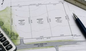
A legal description uses directions and measurements. It might mention distances, angles, or old reference points. It does not show a simple line in your yard.
Even when you have a survey, it may not match what you see today. Changes happen over time. Fences move. Features get added. Old markers disappear.
So you end up with ownership on paper, but no clear boundary you can follow outside.
When people start searching “find my property line”
Most buyers don’t search this before closing. They search after they move in.
It usually starts with a small moment.
You think about adding a shed. You plan to extend the driveway. You want to clean up the side yard.
Then you stop.
Where does your property actually end?
You compare your yard to your neighbor’s. You step off distances. You look at the fence again.
It still feels unclear.
That’s when people search find my property line, hoping for a quick answer.
Why online maps don’t fully solve it
Online maps look helpful. You can zoom in, see your lot, and view boundary lines.
But those lines are not exact.
County maps give a general outline. They help you understand the shape and size. They do not show the precise location on the ground.
Satellite images add another layer of confusion. A fence might look like the boundary, even when it isn’t.
So you end up with a rough idea, not a clear answer.
You still can’t walk outside and say, “this is the exact line.”
Knowing your lot is not the same as seeing it
You might know your lot size. You might know it’s a rectangle, or a corner lot, or slightly angled.
That knowledge does not help much when you’re standing in your yard.
You need something physical. A point you can see. A line you can follow.
Without that, everything feels like a guess.
That gap between knowing and seeing is what drives most searches for find my property line.
Why this matters sooner than people expect
At first, it feels like a small issue. You can ignore it for a while.
Then plans change.
You want to build something. You want to improve the space. You want to make the yard your own.
That’s when unclear boundaries slow everything down.
You hesitate. You second guess. You hold off on projects.
The longer you wait, the more frustrating it gets.
Orlando adds a few extra layers
Orlando has a mix of older neighborhoods and newer developments. That mix creates confusion.
Older areas may have features that don’t match original layouts. Newer areas can feel tight, with less space between homes.
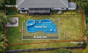
Some properties also include easements that are not obvious when you walk the yard. These affect how you can use certain areas.
So even when the lot looks simple, the actual layout may not be as clear as it seems.
What actually gives you a clear answer
At some point, guessing stops working.
You need a way to connect what’s on paper to what’s on the ground.
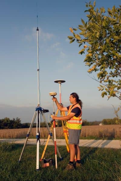
A professional survey does that.
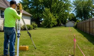
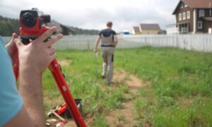
It takes the legal description and turns it into real points you can see. It shows where your property starts, where it ends, and how it sits on your lot.
That clarity changes everything.
You stop guessing. You stop measuring by eye. You know exactly what you’re working with.
Why this search keeps happening
People don’t search to find my property line out of curiosity.
They search for it because something feels off.
They moved in. They started using the space. Then they realized they don’t fully understand it.
That moment is common. It happens across Orlando every day.
The good news is simple.
Once you know your property line, everything else gets easier.