How Much Does a Boundary Survey Cost?
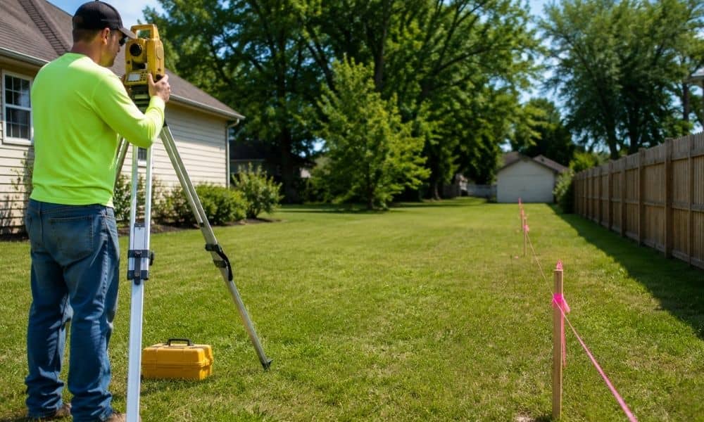
A boundary survey cost depends on the amount of research, field work, and mapping required. Smaller residential lots with clear records often cost less than large or irregular properties. Simple lots may require less work because property corners are easier to find and records are easier to review. Larger properties, older neighborhoods, or parcels with […]
Why You Should Call a Land Survey Company Before an ADU
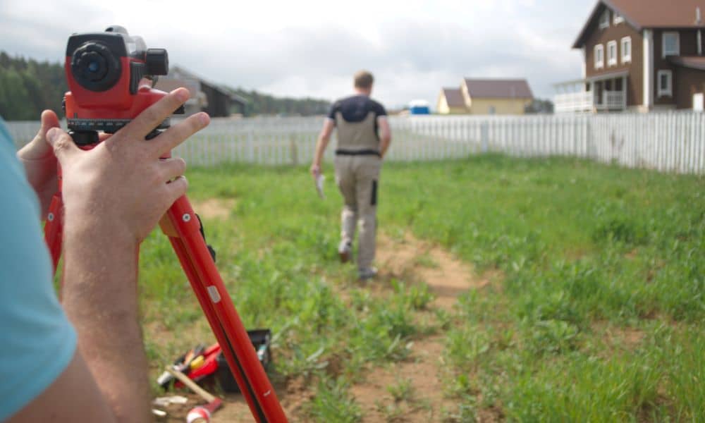
More homeowners in Orlando want extra space. Some want rental income. Others want a place for family. Because of that, accessory dwelling units, or ADUs, are showing up in more backyards across the city. The idea sounds simple. Build a small unit behind your home. Use it for income or extra living space. Many people […]
Why a Plat of Survey Can Delay a Lot Split
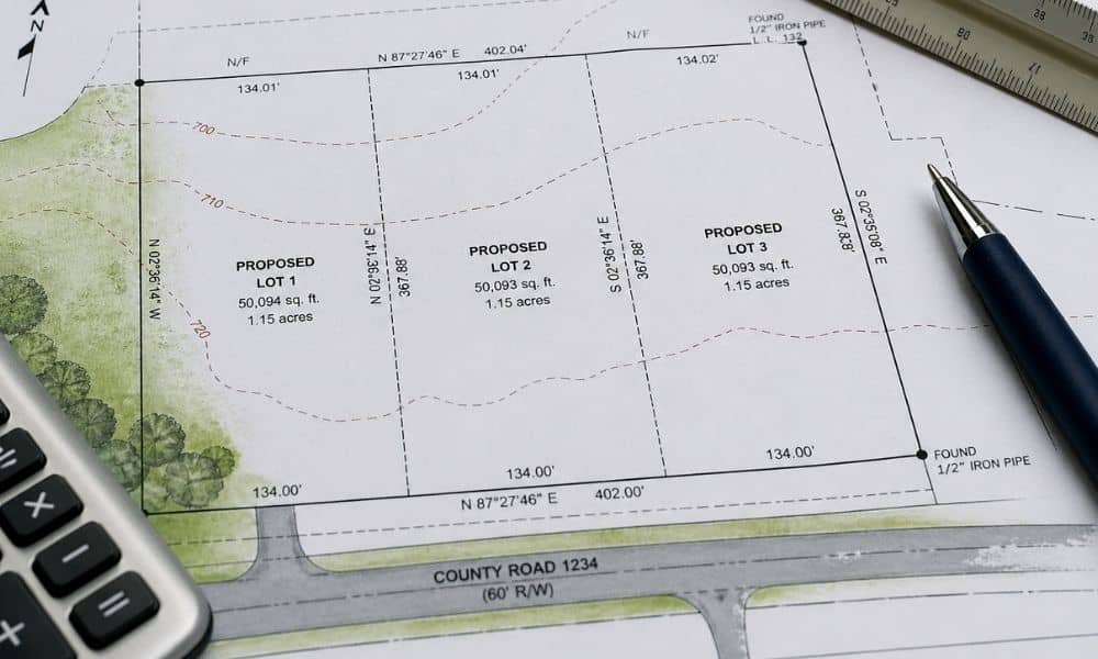
You own a property in Orlando and want to split it. Maybe you plan to sell part of it. Maybe you want to build on it later. Either way, the idea looks clean at first. Then the delay hits. You submit your plans, wait for approval, and nothing moves. Weeks pass. You get comments back, […]