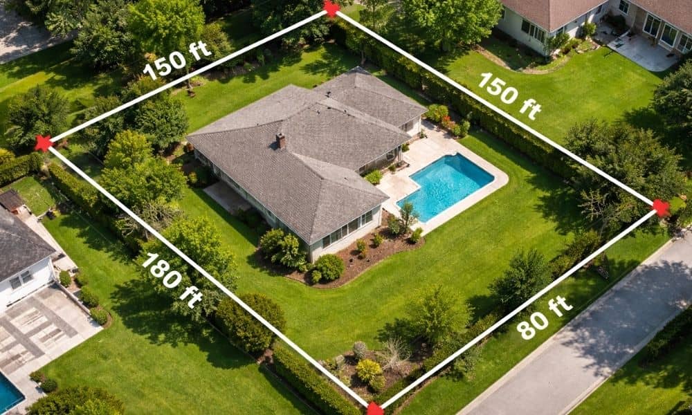
If you own land in Orlando, you may have heard about Florida’s rural boundary debate. At first, it sounds like something only lawmakers deal with. However, it can affect what you can do with your property. In fact, it may even change how you look at your land and how this affects your property boundaries. Florida uses rural and urban boundaries to control growth. These lines help decide where homes and businesses can expand. Now, some leaders want to adjust those boundaries. Because of that, land rules may shift. As a result, property owners face more questions. You may wonder if you can build, split your land, or sell part of it. And before you make any move, you need clear answers about your property. That’s where a lot survey becomes important.
How Land Changes Affect Property Owners in Orlando
Orlando continues to grow fast. New developments rise every year, and land becomes more valuable. At the same time, local rules become stricter.
Because of the rural boundary debate, some land may open up for development. On the other hand, some areas may face new limits. So, even if you owned your property for years, the rules around it can still change.
This creates uncertainty. You might think your land works for your plans. However, the details may say otherwise. For example, a small shift in a boundary or rule can affect what you can build. Because of this, many owners pause and look more closely at their property—checking your land details before making changes just to avoid issues later on.
Because of this, many owners need updated and accurate land information. A lot survey gives you that clarity.
Why a Lot Survey Becomes the First Step
When land rules change, details matter more than ever. Even a few feet can affect setbacks, building space, or lot size.
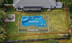
For instance, you may want to build a new structure. At the same time, you must follow setback rules. Without knowing your exact boundaries, you risk building in the wrong place.
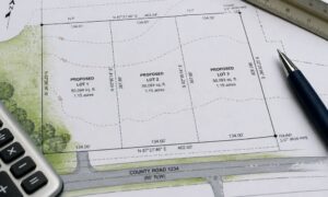
In other cases, you may plan to split your property. However, local rules require specific lot sizes and layouts. A lot survey shows if your plan meets those rules.
Because of this, surveys are often required before approvals. So instead of guessing, you start with facts.
What Property Owners Often Overlook
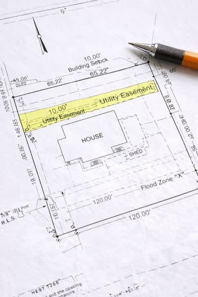
Many people think a survey only shows property lines. However, it reveals much more.
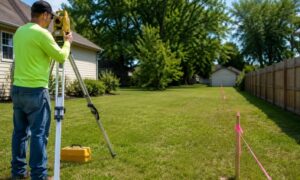
A lot survey shows the full picture of your land. It outlines boundaries, but it also shows easements, setbacks, and existing structures. In Florida, it can even include flood-related details.
Because of this, it helps you avoid problems early. For example, you may find out that part of your land cannot be built on. Or you may discover a utility easement you didn’t know about.
Without this information, small mistakes can turn into costly fixes.
Real Situations Happening in Orlando Right Now
Many property owners face similar issues, especially as land rules evolve.
Some want to divide their lot to build another home. Others plan to add a garage or extend their house. Meanwhile, some deal with neighbors over unclear boundaries.
In each case, the same problem comes up—uncertainty.
For example, you might believe your fence sits on your property. However, without a survey, you cannot be sure. Or you may think your land meets lot split rules, yet the measurements say otherwise.
Because of this, a lot survey becomes more than a document. It becomes a way to avoid stress, delays, and conflict.
Why Timing Matters More Than Ever
With ongoing discussions about land use, timing plays a big role. Rules may shift, and demand for surveys may increase.
If you wait too long, you may face delays. For example, you might need a recent survey for approval. Or your plans may need changes due to updated rules.
At the same time, survey schedules can fill up quickly when demand rises. Because of this, acting early helps you stay ahead.
Instead of rushing later, you can prepare now and move forward with confidence.
How This Connects Back to the Bigger Picture
The rural boundary debate may feel distant. However, it connects directly to your property.
When the state looks at land use, it affects local rules. And when local rules change, property owners must adjust.
Because of this, having accurate land data becomes essential. A lot survey helps you understand what you own and what you can do with it.
It also gives you a clear starting point, no matter what changes come next.
Moving Forward With Confidence
As Orlando continues to grow, land decisions will become more important. At the same time, rules will keep evolving.
Because of this, property owners who prepare early will have an advantage.
A lot survey does more than mark lines on a map. It gives you clear answers. It helps you avoid mistakes. Most importantly, it lets you make smart decisions about your land.
So, if you plan to build, sell, or make changes, start with clarity.
That way, no matter how the rules shift, you know exactly where you stand.