Orlando keeps growing. New homes, new roads, and new commercial projects seem to appear almost overnight. But while construction moves fast, the way land is measured and verified is changing just as quickly. Drone-as-a-Service is becoming a bigger part of how survey work is done, and it’s changing what people should expect when they search for survey companies near me.
This shift is not just about using drones because they look modern. It’s about finding problems earlier, confirming property details more clearly, and reducing risks that can delay projects or cause disputes later.
When old records no longer match what’s on the ground
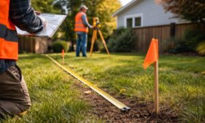
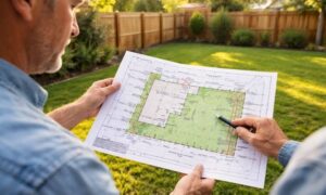
Many properties around Orlando were surveyed years ago. Since then, land may have been graded, roads adjusted, or nearby lots developed. Public records don’t always keep up with these changes. That’s where aerial data becomes valuable.
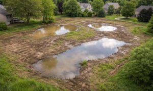
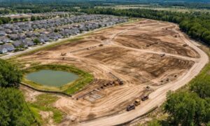
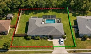
Drones give surveyors a clear, overhead view of the land as it exists today. They can spot changes that older records don’t show, such as altered drainage paths or structures that cross property lines. For property owners, this helps avoid surprises after a purchase and gives a clearer picture of what they actually own.
Ownership risks aren’t always easy to see
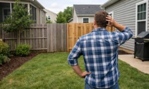
Some property problems aren’t visible when you walk the site. Buyers often rely on listing photos, online maps, or old markers that may not be accurate. These assumptions can lead to trouble later.
With drone data, surveyors can see the full layout of a property and what surrounds it. This makes it easier to notice things like shared access paths, overlapping improvements, or areas that depend on undocumented easements. Working with survey companies near me that use this technology helps catch these issues before they turn into legal or financial problems.
Title problems show up sooner, not later

Title issues often appear at the worst time, right before closing. A survey may reveal a conflict that no one expected, forcing delays or renegotiations. Drone-based surveying helps reduce this risk.
Because aerial images provide a wide and detailed view, surveyors can flag concerns earlier in the process. This gives buyers, lenders, and title companies more time to fix problems without pressure. In a fast-moving market like Orlando, that early clarity can make a big difference.
Why this matters for fraud prevention
Property fraud doesn’t always involve dramatic schemes. Sometimes it’s as simple as a lot being described incorrectly or a site plan showing more usable land than actually exists. These issues are harder to hide when aerial data is involved.
Drone imagery creates a clear record of a property at a specific time. That record helps confirm what’s real and what isn’t. For owners and investors, this adds another layer of protection. Survey companies near me that use Drone-as-a-Service help reduce the risk of mistakes and misrepresentation.
What property owners should take away
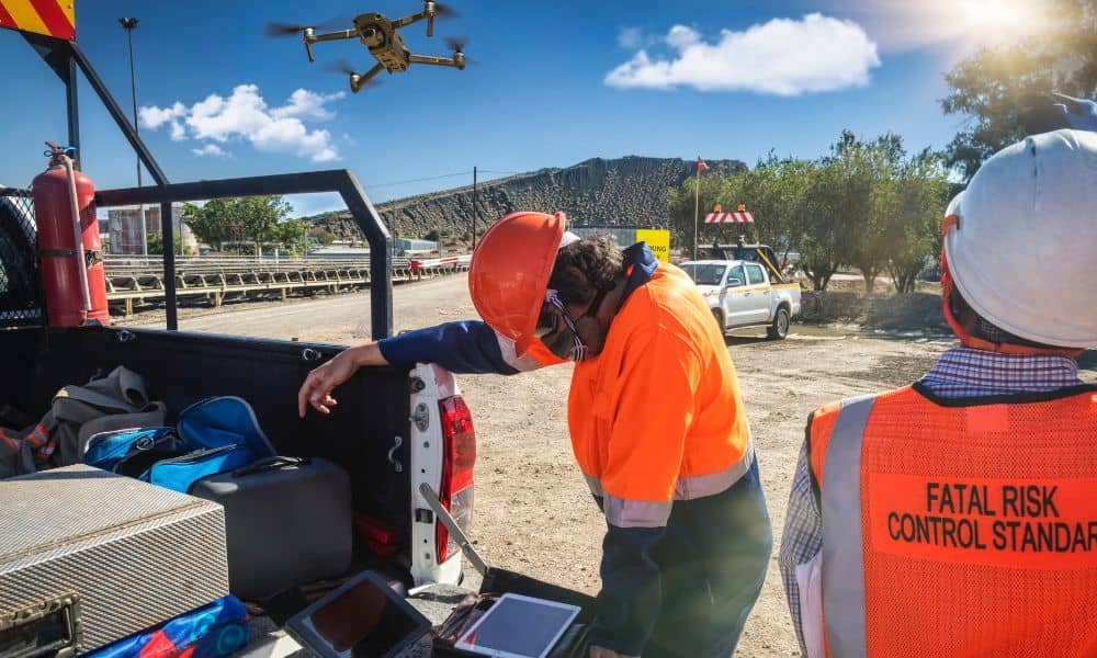
Drone-as-a-Service doesn’t replace licensed surveyors or traditional survey work. Instead, it gives surveyors better information to work with. For clients, this means fewer surprises, clearer boundaries, and better protection during property transactions.
As the city continues to grow, accuracy matters more than ever. Understanding how modern surveying tools fit into today’s projects helps property owners make smarter decisions. The next time you look for survey companies near me, knowing how Drone-as-a-Service works can help you choose a firm that’s prepared for today’s challenges, not yesterday’s land records.