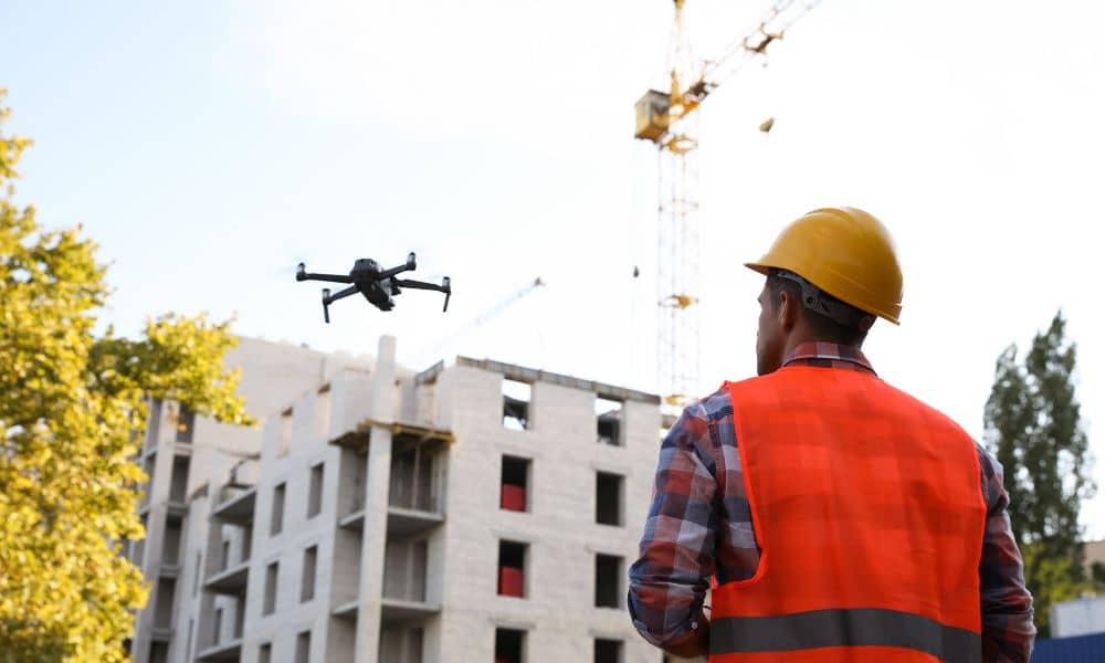
How a Solar Storm Briefly Affected Drone Surveying Work

Drone surveying plays a huge role in construction today. Builders use it for grading checks, topographic maps, and layout planning. However, this week’s viral solar storm created an unexpected problem: GPS signals became unstable. When GPS gets shaky, drone surveying becomes unreliable too. And even small errors can cause big setbacks for homeowners, contractors, and […]
Faster Builds with Unmanned Aerial System Survey Tech
Florida’s housing story is in the news again. Spectrum News 13 just reported another wave of people moving to the Sunshine State — and Orlando is one of the top choices. More people means more homes, condos, and new projects. But with so many builds starting at once, surveyors are busier than ever. That’s where […]
How a Flood Elevation Certificate Impacts Insurance Claims
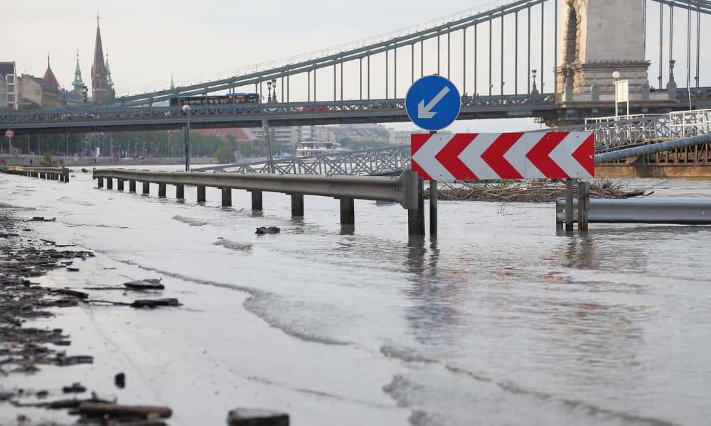
When a bridge breaks and a city tells people to boil water, insurance paperwork is probably the last thing on your mind. But after this week’s flooding around Mount Dora and parts of Orlando, many homeowners are wondering: What does my flood elevation certificate have to do with my insurance? The truth is—it matters a […]