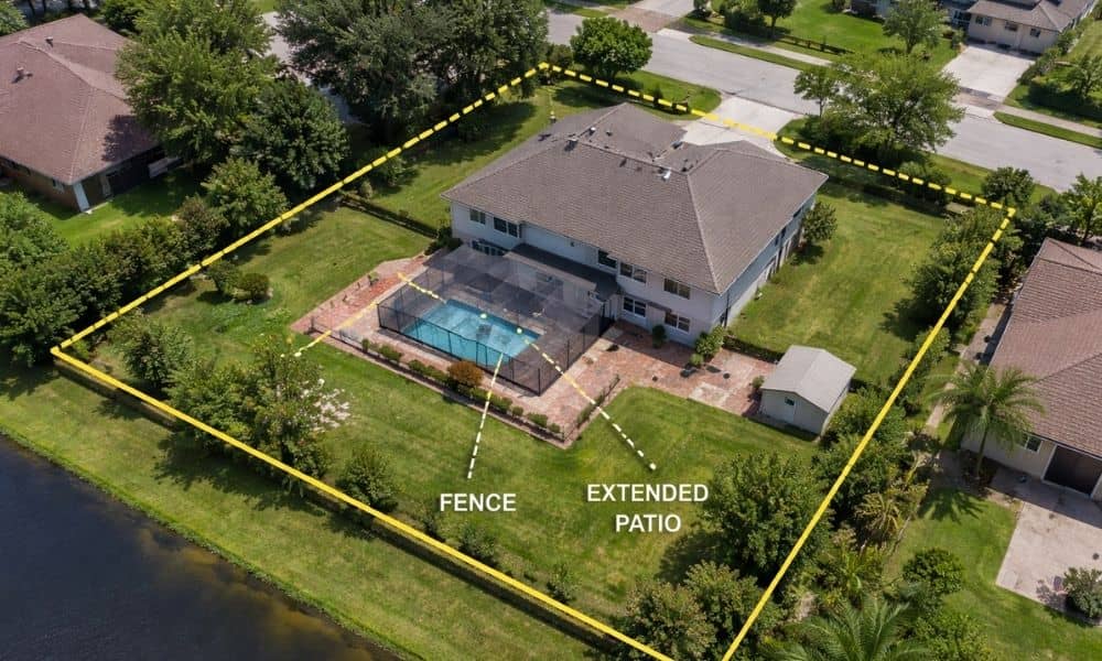
Fence Permits: What a Residential Surveyor Helps You Avoid
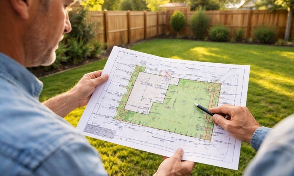
Putting up a fence sounds easy. Most homeowners think it’s a quick project. You pick a design, hire someone, and get started. However, many people run into problems before construction even begins. The issue usually shows up during the permit process. The application gets delayed, or it comes back with comments. Then frustration sets in. […]
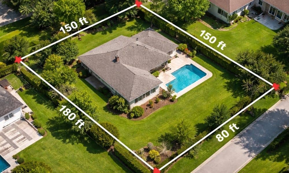
Before Property Issues, Call a Licensed Land Surveyor
When news broke about the Rialto building in Orlando, many people felt uneasy. Residents had to leave their homes after signs of structural trouble showed up. Later, reports pointed to possible unpermitted work around the property. At first, this may seem like a rare case. However, situations like this often start small. In many cases, […]
Why a Lot Survey Matters More as Land Rules Change
If you own land in Orlando, you may have heard about Florida’s rural boundary debate. At first, it sounds like something only lawmakers deal with. However, it can affect what you can do with your property. In fact, it may even change how you look at your land and how this affects your property boundaries. […]