Why Drone Land Surveying Is Gaining Global Attention
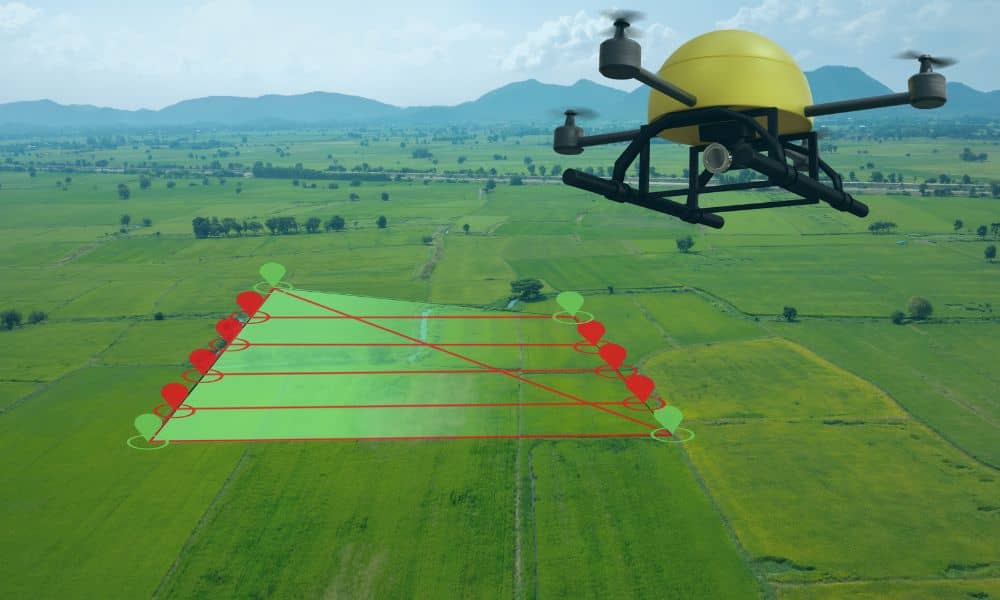
If you follow real estate or development news, you may have noticed something new. Drone land surveying is showing up in more conversations, even outside the U.S. Recently, a government land survey program in Delhi, India went viral after officials announced they were using drones to fix property ownership problems. Millions of land records were […]
When You Need a New Elevation Certificate After Site Changes
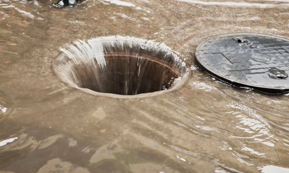
Living in Central Florida means living with water. Heavy rain, strong storms, and fast development can change the land quickly. Because of this, an elevation certificate plays a bigger role than many property owners expect. Most people think it is a one-time document. In reality, it only stays accurate as long as the land stays […]
How a Construction Survey Shapes Modern Project Timelines

Orlando keeps growing. New apartments rise near downtown. Warehouses expand along major highways. Retail centers pop up close to fast-growing suburbs. Yet in 2025, many of these projects share the same problem: delays before construction even starts. In many cases, the issue comes down to one early step—the construction survey. While it rarely makes headlines, […]