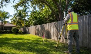
A stormwater design is only as good as the data behind it. Before an engineer can size a pond, plan a pipe, or set a grading plan, someone has to measure the ground first. That’s the job of a topographic survey. Skipping it, or rushing through it, can leave a design based on guesses instead of real numbers.
In Central Florida, the land is flat and the rain can be heavy. Small changes in elevation can matter a lot here. They can matter more than they would in a place with steep hills. A topographic survey maps out the elevations, features, and drainage paths on a property. This gives the engineer real facts to work from instead of guesses pulled from old plans or aerial photos.
Small Grade Changes Can Redirect Runoff Across a Site
A change in elevation of just a few inches can send water in a new direction. Stormwater always follows the easiest path downhill. On a flat lot, that path can shift with even small changes to the grading.
This is why a topographic survey needs enough elevation points to show the true shape of the land. It can’t just check a few spots here and there. A survey with too few points can miss a low spot, a small ridge, or a gentle slope. These small features often control where water collects or drains away. If the engineer works from an incomplete picture, the finished system may not perform the way the design predicted.
Surveyors often collect elevation points in a grid pattern. They also add extra points along ridges, dips, and other spots where the slope changes direction. How many points a site needs depends on how much the land varies. A lot with several small grade changes usually needs more points than a large, flat lot.
Survey Limits Should Follow Water, Not Just Property Lines
A topographic survey doesn’t have to stop at the property line. In many cases, it shouldn’t. Water doesn’t care about boundary lines on a plat. If runoff flows onto the site from next door, or if the site drains onto land the owner doesn’t own, the design team needs data that covers that area too.
Setting the right survey limits takes a conversation between the surveyor and the engineer. It isn’t something to leave on autopilot. An engineer might need the survey to reach past the back property line to check how water flows toward a pond. Or the survey may need to reach the street to see how the site connects to existing drainage pipes. Talking through these limits early can save a second site visit later, once the design team realizes the data doesn’t go far enough.
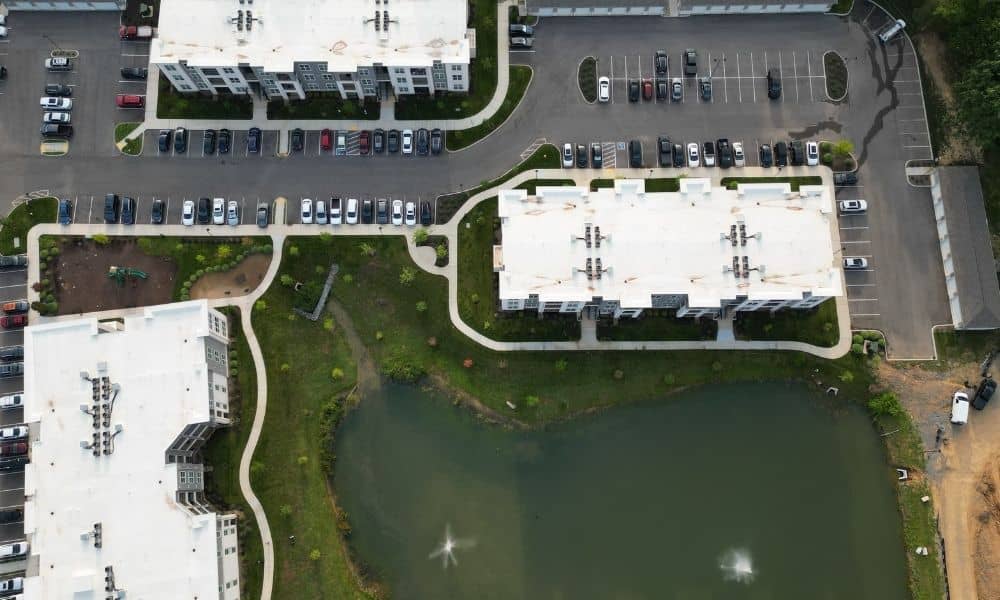
This matters in Orlando because many properties connect to a larger drainage system. That system might include nearby ponds, ditches, or canals. A survey that only covers the property itself can miss the connection points that drive the whole drainage plan.
Drainage Structures Need More Than a Map Location
Knowing where a drainage structure sits isn’t the same as knowing how it works. A topographic survey for stormwater design should show more than just the location of inlets, pipes, and outfalls. It should also record the rim elevation, the pipe invert, the pipe size, and which way the water flows, wherever the surveyor can safely see or measure these things.
This detail matters because the engineer needs to know how a new system will connect to what’s already there. A pipe invert that sits higher than expected can change how a new connection has to be built. A structure with an unknown outfall elevation leaves a gap in the design. That gap then gets filled with a guess instead of a real measurement.
Some of this information sits out of sight. A pipe invert inside a structure, for example, might need the surveyor to open the lid and measure it directly. An old plan from years back may no longer match what’s actually there. If a structure can’t be safely reached or clearly measured, the survey should say so. That way the engineer knows where the data is missing instead of assuming it’s correct.
Vertical Datum Consistency Matters Before Design Starts
Every elevation on a survey gets measured against a fixed reference point called a vertical datum. If the survey uses a different datum than the stormwater design, the numbers can look fine on paper while actually being off across the whole site.
This kind of mismatch is easy to miss. The survey numbers make sense on their own. The design numbers make sense on their own. But if they don’t share the same reference point, the two won’t actually agree with each other. Checking the datum before design work starts, and matching it to whatever datum the local agency expects, can stop a problem that might not get caught until much later in the process.
For projects, this often means checking with the surveyor about which datum the specific city, county, or drainage district wants. This can change depending on which agency reviews the stormwater plan.
Define the Topographic Survey Scope With the Engineer First
The most useful topographic surveys start with a conversation, not a standard checklist. An engineer who looks at the project early can tell the surveyor which features matter most. That includes how far the survey should reach, how much detail the drainage structures need, and which datum the design will use.
Without that input, a surveyor might collect a survey that looks complete but is actually missing key details. It may cover the site in general terms while missing the specific facts the stormwater design depends on. That gap often doesn’t show up until the engineer starts building the model and realizes a key elevation or structure detail is missing.
Planning the scope early also tends to save both time and money. Sending a survey crew back out to grab one missing measurement almost always costs more than collecting it during the first visit. A short planning talk between the surveyor and engineer before fieldwork starts can prevent that kind of repeat trip.
Frequently Asked Questions
Should a topographic survey be ordered before hiring a stormwater engineer?
It’s usually better to bring the engineer in early. They can help decide what the survey needs to cover. Then the surveyor can collect the right data based on that input.
Can an older topographic survey be reused for a new drainage project?
It might work, but the design team should check first. They need to confirm the old survey still matches current site conditions and includes the right elevations, features, coverage, and datum.
Does a stormwater topographic survey need to include neighboring property?
Not always. But if water flows onto or off the site from next door, the survey may need to reach past the property line. The right limits depend on the specific project, not a fixed rule.