
Why a Topographic Survey Matters Before Stormwater Design
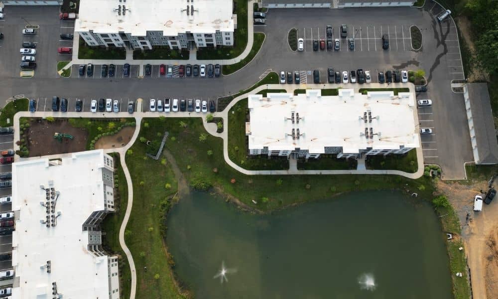
A stormwater design is only as good as the data behind it. Before an engineer can size a pond, plan a pipe, or set a grading plan, someone has to measure the ground first. That’s the job of a topographic survey. Skipping it, or rushing through it, can leave a design based on guesses instead […]