Why Drone Land Surveying Is Gaining Global Attention
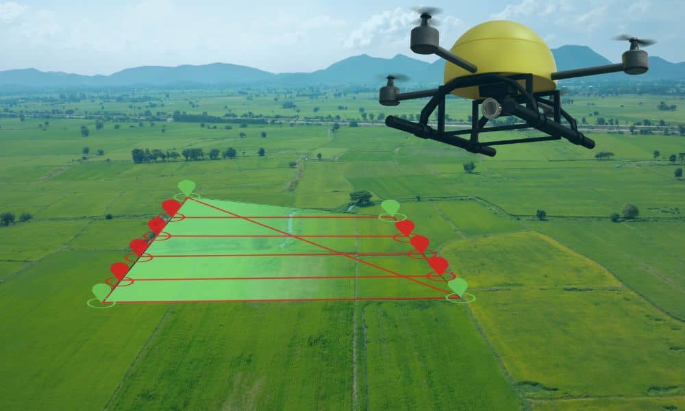
If you follow real estate or development news, you may have noticed something new. Drone land surveying is showing up in more conversations, even outside the U.S. Recently, a government land survey program in Delhi, India went viral after officials announced they were using drones to fix property ownership problems. Millions of land records were […]